About Myles Standish State Forest
Myles Standish State Forest was established in 1916 and, at over 12,400 acres in Plymouth and Carver, has been the largest public open space in southeastern Massachusetts ever since. Much of what visitors use today, from the fire roads to the campgrounds, was built by the Civilian Conservation Corps in the 1930s. Before that, the land was cut for iron furnaces, farmed for cranberries and swept by fire. It carries the name of Myles Standish, the military leader of Plymouth Colony.
History at a Glance
Before the Forest
DCR's trail guides say most of this land was cleared more than 200 years ago, the wood burned to fuel furnaces that smelted bog iron. Southeastern Massachusetts bogs were an early source of iron ore, made into tools for the colonists and into cannonballs used in the Revolutionary War and the War of 1812.
Tall white pines were valuable in a different way. DCR's East Head guide tells of a 1688 royal decree reserving pines 24 inches or more across for Royal Navy ship masts, marked with a broad arrow. Mast Road is named for the hauling of those masts.
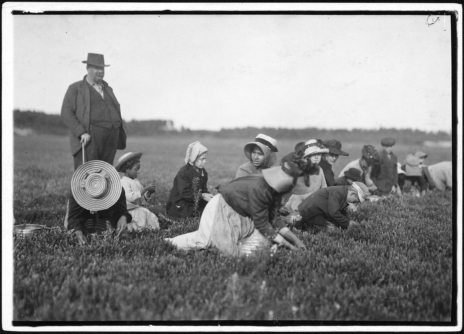
Cranberries came next. The region is home to the oldest and one of the largest cranberry growing industries in the world, according to DCR. East Head Reservoir was created in 1868 to water nearby bogs, and two working bogs by Rocky Pond are still farmed today as experimental bogs by the University of Massachusetts Cranberry Experiment Station.
A State Forest, 1916
The forest was protected in 1916. DCR's centennial trail map, published for its 100th year, says Daniel Webster, Theodore Roosevelt, William Howard Taft and Woodrow Wilson all came here to camp, fish or hunt. The first stewards were workers of the Massachusetts State Forest Commission.
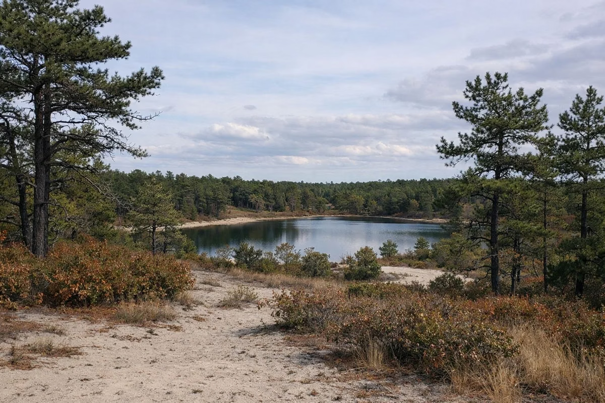
In 1900, sixteen years before the forest was protected, the Great Fire burned about 50 square miles of Plymouth, from the Myles Standish area to Cape Cod Bay. Fire has shaped this landscape ever since (see the Pine Barrens), and in the late 1930s the forest's own staff invented the brush-breaker fire truck.
The Civilian Conservation Corps
The Civilian Conservation Corps, a New Deal program of the 1930s, gave jobs to young, unemployed men during the Great Depression. Hundreds of men stationed at the CCC camp in Myles Standish built the fire roads that crisscross the forest, planted more than 700,000 trees, and built the campgrounds and day-use areas that thousands of people use every year.
The CCC's white pine plantations still stand along the East Head Reservoir Trail. At Fearing Pond, its log bathhouse is the only CCC-era log bathhouse left in the Massachusetts state parks system, and the stone firepit beside it, also CCC-built, is still in use.
The Forest Today
The Massachusetts Department of Conservation and Recreation (DCR) manages the forest now. Its work includes prescribed burns to protect the rare Pine Barrens, the campground and day-use areas, and programs such as guided hikes and cranberry bog tours. The Friends of Myles Standish State Forest, a volunteer group, supports the forest and works with the Forest Supervisor.
Who Was Myles Standish?
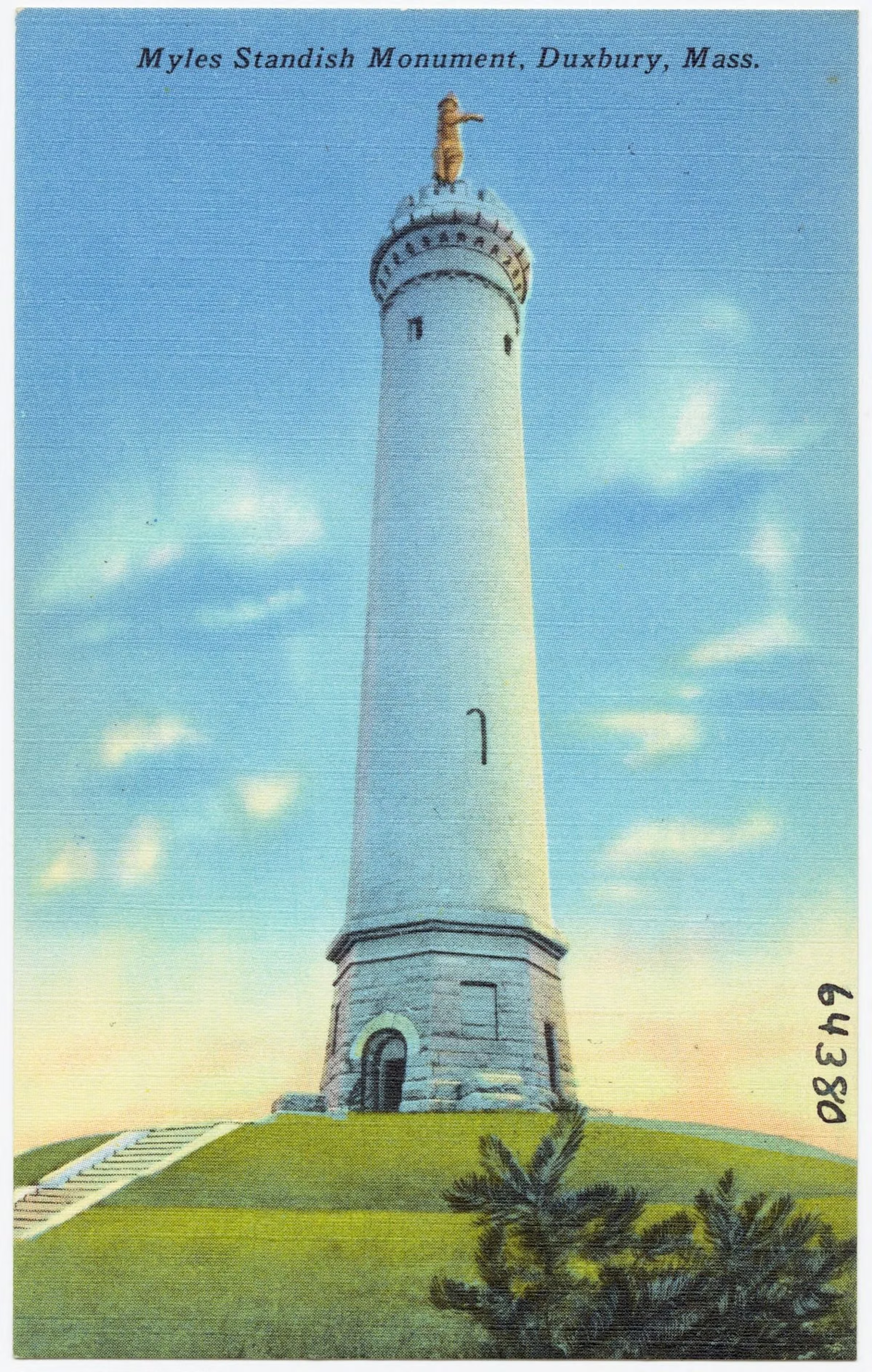
Myles Standish was the military leader of Plymouth Colony. His memorial is not in this forest but in Duxbury, where DCR's Myles Standish Monument State Reservation has a 116-foot granite shaft topped by a 14-foot statue of him on Captain's Hill. See things to do near Plymouth.
History FAQ
When was Myles Standish State Forest established?
In 1916. DCR celebrated its centennial in 2016.
Who built Myles Standish State Forest?
The Civilian Conservation Corps built much of it in the 1930s: the fire roads, the campgrounds and day-use areas, and more than 700,000 planted trees.
Who was Myles Standish?
The military leader of Plymouth Colony. His monument stands in Duxbury at DCR's Myles Standish Monument State Reservation.
Is Myles Standish State Forest the largest park in southeastern Massachusetts?
DCR calls it the largest public open space in southeastern Massachusetts, at over 12,400 acres.