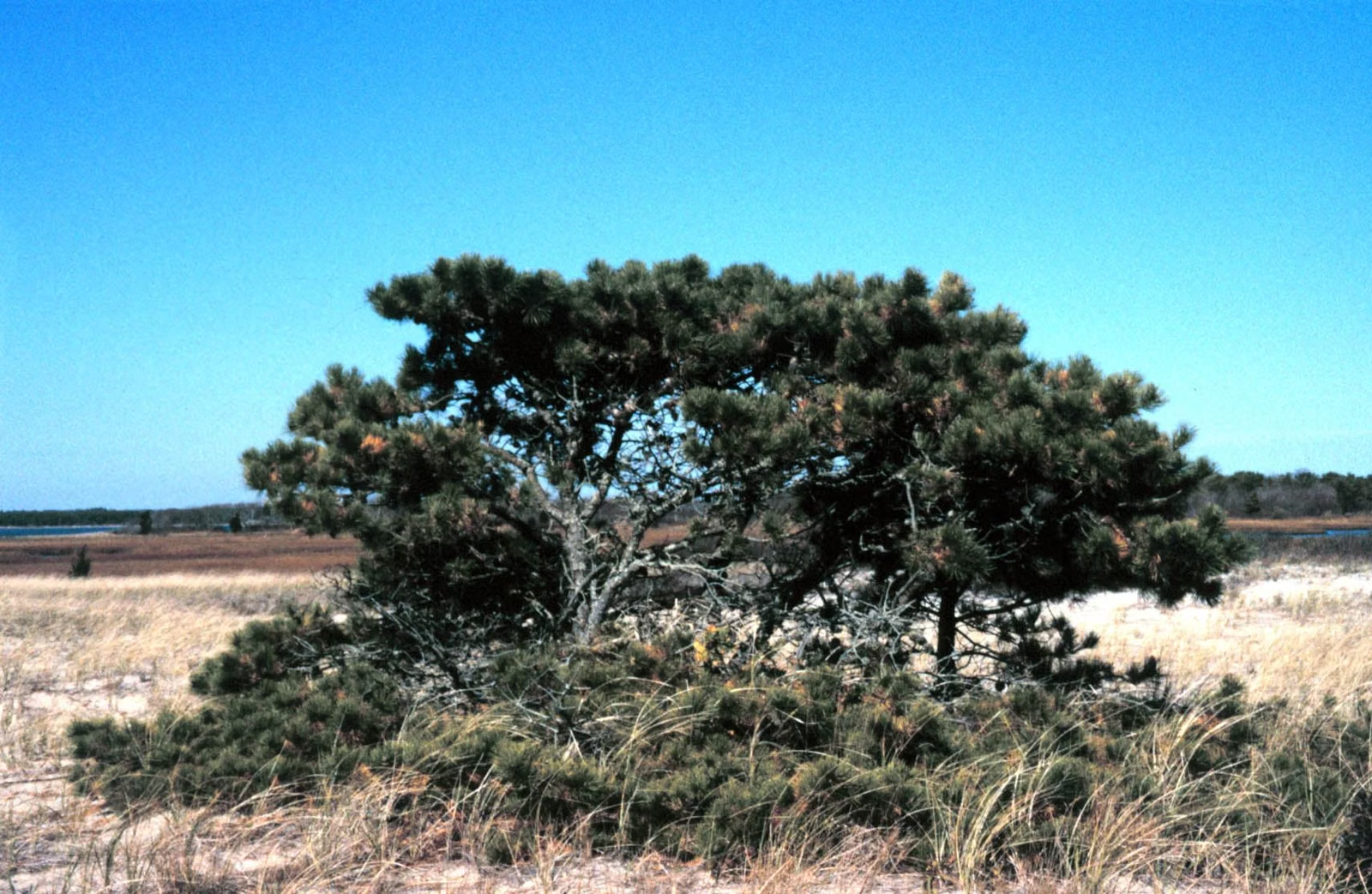
Myles Standish State Forest Trail Map
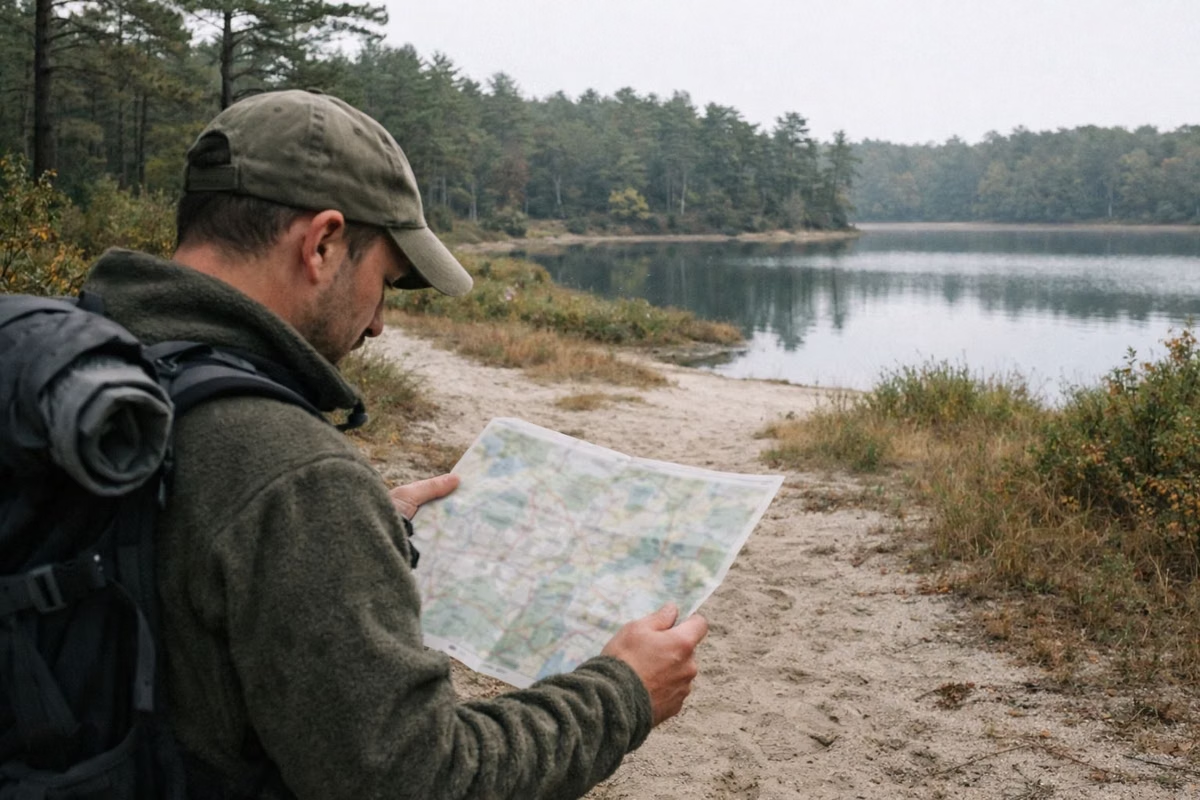
DCR's official Myles Standish State Forest trail map is a free PDF you can download from mass.gov or pick up at Forest Headquarters. It shows the 13 miles of hiking trails, about 15 miles of paved bike path, the forest roads, the ponds, the four camping areas and every parking lot. DCR's GIS staff designed it in 2016 for the forest's 100th year, and the back carries DCR's suggested hikes and rides.
Hiking Trails on the Map
Through the Pine Barrens and down into frost pockets.
Around East Head Reservoir, with boardwalks and 14 numbered posts.
Hilly, over a glacial moraine; joins the Pine Barrens Path.
Ponds and meadows; crosses a Wildlife Management Area.
Circles the Charge Pond campgrounds.
East side of the forest, Friends' Loop to Charge Pond Loop.
Get the Official Map
- Trail map PDF (1.51 MB), from mass.gov.
- Self-guided guides (Frost Pocket Loop, East Head Reservoir Trail, Rocky Pond Cranberry Bogs, recommended paved bike routes) on DCR's self-guided page.
- Paper copies of the map and brochures at Forest Headquarters, 194 Cranberry Road.
DCR warns that some trails are not well marked and some do not appear on the map, so treat it as a guide and stay on paths you can see on it.
How to Read the Map
- Paved roads are drawn two ways: those kept open for winter travel and those that are not. Plan winter visits on the first kind.
- The paved bike path has its own line. On DCR's bike guide, yellow sections are connector paths you can use to shorten or change a ride.
- Hiking trails, trail loops and loop connectors are separate symbols, and the Healthy Heart Trail around East Head Reservoir has its own.
- Gates are numbered on the map (W01, E01, S01 and so on), which helps you match the map to the gate in front of you.
- Cranberry bogs are marked no public access, except the Rocky Pond Bog Loop. Utility lines are no public access.
- The map marks Massachusetts Correctional Institute Plymouth as a restricted area. Stay out.
- Wildlife Management Areas, their fields and their pull-off parking are shaded. Expect hunters there in fall.
Parking Lots on the Map
DCR's map lists each lot and what it is closest to. Year-round lots are open in winter; seasonal ones are not.
- Forest Headquarters (year-round): camping check-in, Interpretive Center, restrooms, the bike path system and the East Head Loop.
- Bentley Trail Lot (year-round): Bentley and Frost Pocket loops, Frost Pocket Path bike trail, the Pheasant Wildlife Management Area.
- East Entrance (year-round): picnicking, the Friends' Loop and Pine Barrens Path, the Frost Pocket Path bike trail.
- Equestrian Lot (seasonal): the forest's equestrian trails.
- Charge Pond (seasonal): Charge Pond Loop, Pine Barrens Path and the Camping Pond Loops bike trail.
- Fire Tower Lot (seasonal): scenic views and the Rocky Pond Path bike trail.
- Rocky Pond Lot (seasonal): Rocky Pond Bog Loop and the Rocky Pond Path bike trail.
- College Pond Day-Use Area (seasonal): paid lot, bathhouse, restrooms, swimming and picnicking.
- Pull-offs on Cutter Field Road: the Quail Wildlife Management Area.
DCR's trail guides also number some lots: Headquarters is Parking Lot 1, the Frost Pocket Loop starts from Parking Lot 2, the Camping Pond Loop passes Parking Lot 5, and the Rocky Pond bog lot is Parking Lot 7. Fees and directions are on the parking page.
Bike Routes on the Map
DCR's bike guide color-codes three routes: the Camping Pond Loop in green (6.25 miles), the Frost Pocket Path in blue (11 miles round trip) and the Rocky Pond Path in red (7.8 miles round trip). Directional signposts stand at the intersections. Route details on the bike paths page.
Campsite Maps
The trail map shows where the camping areas are, not individual sites. For site-by-site maps, use the map view on DCR's ReserveAmerica page, which shows each loop and its numbered sites. The loops are explained on the camping page.
Trail Map FAQ
Where can I get a Myles Standish State Forest map?
Download DCR's free trail map PDF from mass.gov, or pick up a paper copy at Forest Headquarters, 194 Cranberry Road in South Carver.
Does the Myles Standish map show campsites?
It shows the four camping areas. For individual site numbers, use the map view on DCR's ReserveAmerica page for the forest.
Which parking lots are open in winter?
DCR's map lists Forest Headquarters, the Bentley Trail Lot and the East Entrance as year-round. The Equestrian, Charge Pond, Fire Tower, Rocky Pond and College Pond lots are seasonal.
Are all trails on the map?
No. DCR's own guide warns that some trails are not well marked and some are not on the map.
How many miles of trails does the map show?
DCR lists 13 miles of hiking trails, about 15 miles of paved bike path and 35 miles of equestrian trails in the forest.