Pine Barrens & Frost Pockets
The Pine Barrens is the open pitch pine and scrub oak forest that covers much of Myles Standish State Forest, growing on dry, sandy soil left by the glaciers and shaped by fire. DCR calls it the third-largest Pine Barrens in the world, and the Massachusetts Natural Heritage program has documented 42 rare and endangered species in the forest, the most of any state property. The best short walk through it is the 1.6-mile Frost Pocket Loop.
The Pine Barrens at a Glance
Born of Fire and Ice
About 20,000 years ago, a glacier covered this part of Massachusetts. When it melted back, it dropped billions of tons of sand and stone. That sand holds little water, so the plants that grow here dry out in summer and burn easily. DCR describes the forest as a place shaped by glaciers, climate, fire and people.
The Pine Barrens community has an open canopy of scattered pitch pines over an understory of scrub oak and shrubs such as blueberry, huckleberry and crowberry. Grass is scarce. Heaths, lichens and bearberry cover the ground instead.
The Three Trees
- White pine: tall and straight. DCR's guide says you can count the levels of branches to estimate a young tree's age, one level a year.
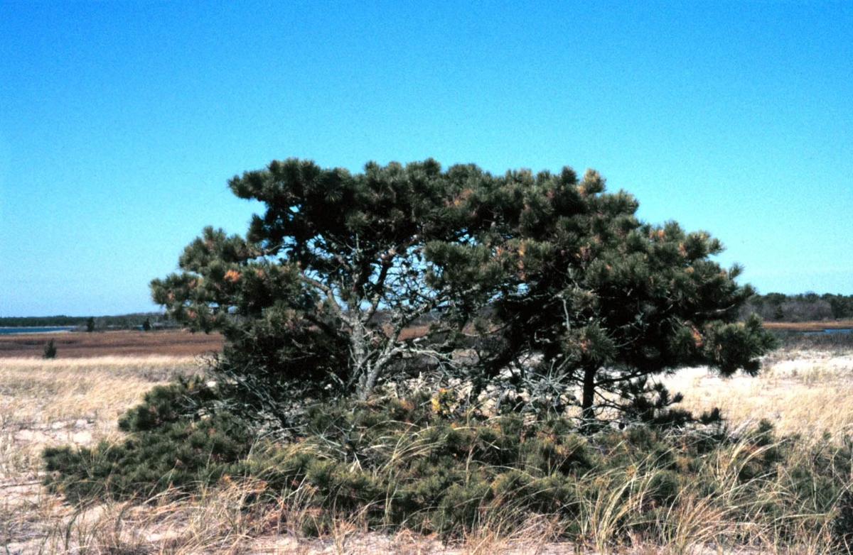
- Pitch pine: bent and gnarled with rough bark and needles in bunches of three. It is built for fire: some cones only release seed after heat, it can resprout from its roots, and it can grow new branches straight from the trunk.
- Scrub oak: looks like a shrub with oak leaves. DCR says it can live more than 150 years, regrowing from roots that survive even when everything above ground burns.
Frost Pockets
Frost pockets are hollows left where chunks of glacial ice melted. Cold air sinks and pools in them, so frost can form in any season, even summer. On a hot day the bottom can also get hotter than the land around it, because there are few trees for shade. Rare shrub, heath and grassland plants and many lichens live in these extremes.
DCR warns that frost pockets are very easily damaged by vehicles, hikers and cyclists, and that their plants take decades to recover. View them only from established trails. DCR's guide adds that white-tailed deer often bed down at the bottom of frost pockets for shade in summer. Walk the Frost Pocket Loop to see them.
Fire and the Forest
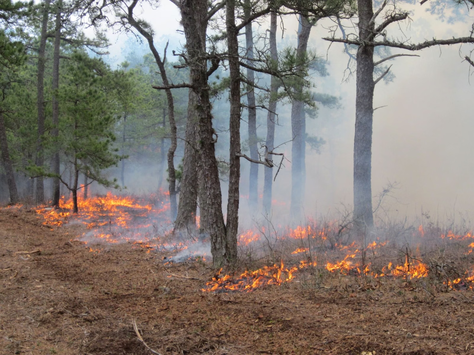
DCR's map says Native Americans used fire to manage the land before colonists arrived. Heavy logging and severe wildfires in the late 1700s and 1800s helped create the drier Pine Barrens seen today. The Great Fire of 1900 burned about 50 square miles of Plymouth, from Myles Standish to Cape Cod Bay. The last notable wildfire here was in 1985.
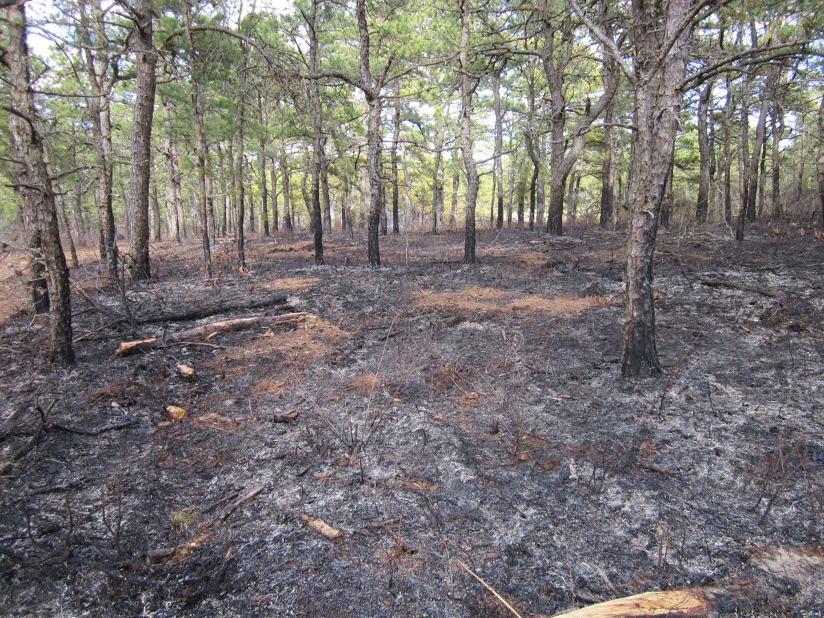
Since 2000, DCR has run a prescribed fire program at the forest to burn off the fuel that feeds dangerous wildfires and to keep the Pine Barrens healthy. It also uses timber harvests, mowing and brush cutting, and works with MassWildlife on a ten-year Pine Barrens restoration project. Visitors may come across active forestry work or recently burned ground.
You may also see open, cleared patches along the paths. DCR explains that red pines, which are not native here, were planted from the 1930s into the 1950s. An insect called the red pine scale began killing them in the late 1990s, and DCR removed them to cut the fire risk and let pitch pine and scrub oak return.
Wildlife
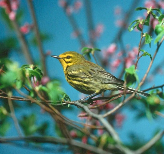
DCR lists white-tailed deer, wild turkey, red squirrel and gray fox among the forest's animals. More than 130 bird species visit, and Mass Audubon has named the forest an Important Bird Area. DCR's guide says the forest has more prairie warblers than anywhere else in Massachusetts, and eastern whip-poor-wills, brown thrashers, eastern towhees and field sparrows breed here.
Look for the buck moth in fall, a black, white and orange moth that flies by day like a butterfly. And in the larger ponds in spring, look for the northern red-bellied cooter. DCR says southeastern Massachusetts, including this forest, is the only place in the world to find this federally endangered turtle. More on the ponds.
Where to See the Pine Barrens
- Frost Pocket Loop: 1.6 miles from Parking Lot 2, straight through the Pine Barrens and down into frost pockets.
- Pine Barrens Path: 8 miles one way on the east side of the forest, through what DCR calls globally rare Pine Barrens.
- Frost Pocket bike path: an 11-mile round trip from headquarters down the rolling east side. See biking.
Pine Barrens FAQ
What are the Pine Barrens in Massachusetts?
An open forest of pitch pine and scrub oak on dry, sandy glacial soil, adapted to frequent fire. Myles Standish State Forest has the largest example in Massachusetts; DCR calls it the third-largest Pine Barrens in the world.
What is a frost pocket?
A hollow left by melting glacial ice where cold air collects, so frost can form in any season. DCR says frost pocket plants are fragile and take decades to recover from damage.
Why does DCR burn parts of Myles Standish?
Prescribed burns, used since 2000, clear the fuel that feeds dangerous wildfires and keep the fire-adapted Pine Barrens habitat healthy.
How many rare species live in Myles Standish State Forest?
The Massachusetts Natural Heritage and Endangered Species Program has documented 42, the highest number for any state property, according to DCR.
What is the best trail to see the Pine Barrens?
The Frost Pocket Loop, about 1.6 miles from Parking Lot 2, takes about an hour and passes through Pine Barrens and frost pockets.