Bike Paths
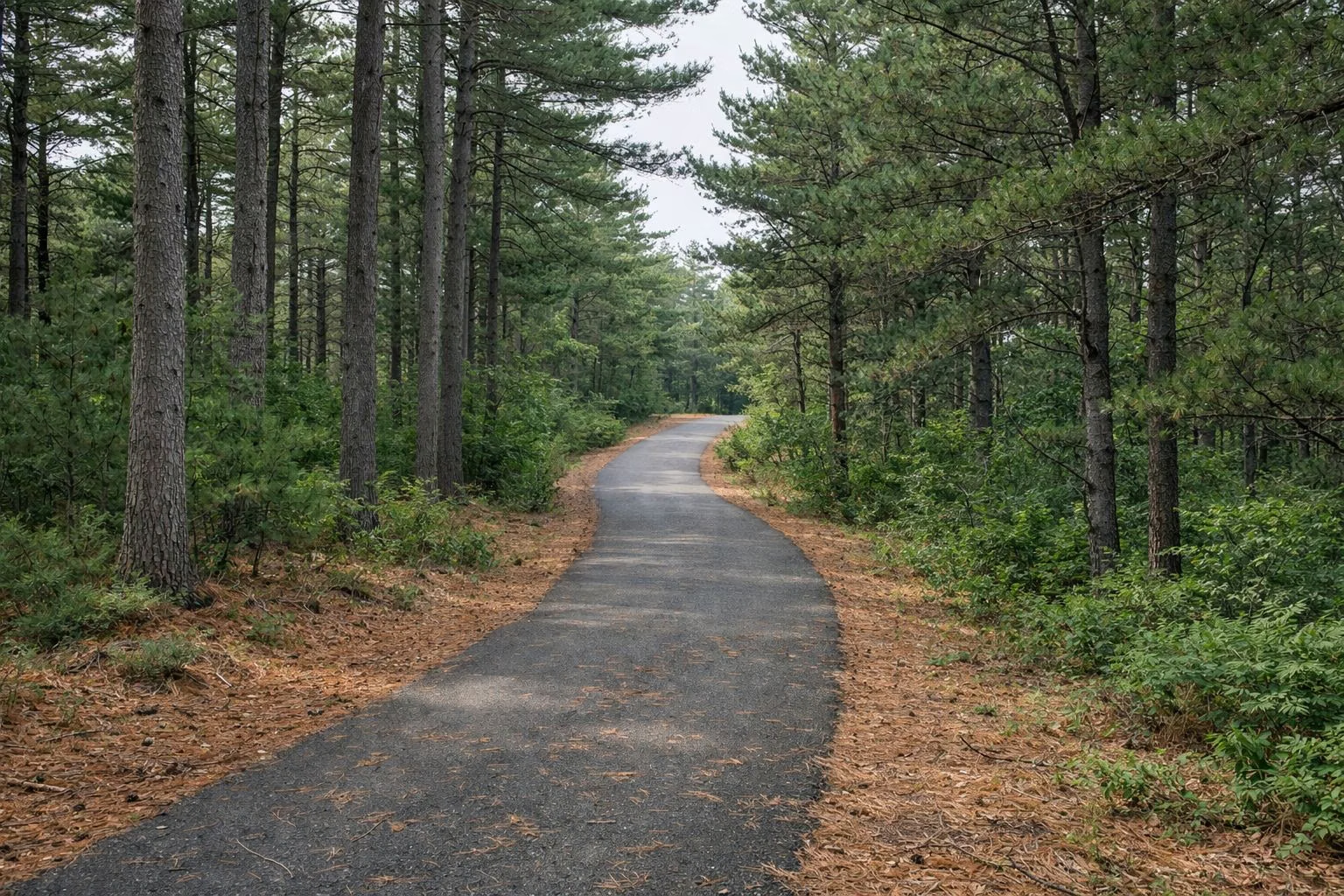
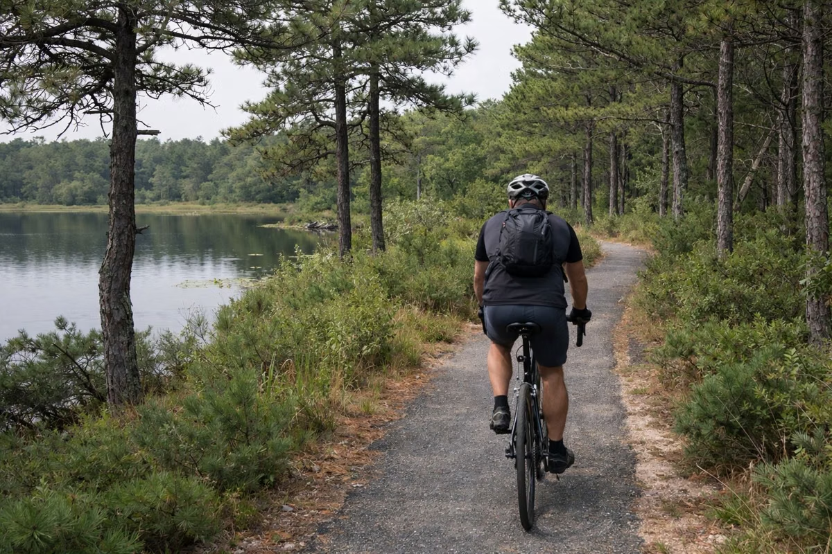
Myles Standish State Forest has over 15 miles of paved bike paths. DCR suggests three rides from Forest Headquarters: the easy 6.25-mile Camping Pond Loop, the flat 11-mile Frost Pocket Path and the hilly 7.8-mile Rocky Pond Path. The paths wind through pitch pine and white pine past the camping ponds, with signposts at the intersections and a few road crossings.
Biking at a Glance
Camping Pond Loop (Green, 6.25 miles)
DCR calls this a relatively easy loop for families. Start at the Headquarters lot (Parking Lot 1) at 194 Cranberry Road. From the lot entrance at its southeast corner, cross the gated footbridge on your left and go up the paved road; the bike path is on your left after you cross East Head Reservoir.
Follow the signs toward Fearing Pond, crossing a few roads carefully. Where the path crosses Cutter Field Road, Fearing Pond is on your right through the big parking lot, a good place to stop and see the forest's CCC log bathhouse. Continue on to a fork signed for Charge Pond (straight, by road) or Parking Lot 5 (right). After a stop at Charge Pond, take the first left toward Parking Lot 5, pick up the path at the back of the lot and follow the signs to headquarters.
Halfway to Fearing Pond you ride past cleared ground. DCR explains these were non-native red pines planted decades ago and killed by an insect, the red-pine scale; the dead trees were removed to cut fire risk and let native trees return.
Frost Pocket Path (Blue, 11 miles round trip)
DCR describes this as long, peaceful and relatively flat. Start at Parking Lot 1, cross the same footbridge, and at the path follow the signs toward the East Entrance on Long Pond Road in Plymouth. Turn around there and ride back. The route runs down the east side of the forest through tall white pine groves, vernal pools and the open Pine Barrens. The rolling ground you feel under your wheels is the frost pockets.
Rocky Pond Path (Red, 7.8 miles round trip)
DCR calls this its most challenging bike trail, with ups and downs and twists and turns. It starts on the far side of the headquarters building: follow the paved road that loops behind headquarters, and the path entrance is on your right. There is only one path to Rocky Pond. The grade climbs slowly the whole way, more so after you cross Bare Hill Road.
This is the most remote part of the forest, and DCR says it gives you the best chance of seeing white-tailed deer, gray fox or wild turkey. The path ends under the power lines; cross the road to the small gravel Parking Lot 7 and walk down to the working Rocky Pond Cranberry Bog (bog loop). Ride back the way you came, and take the downhill turns slowly: DCR warns they can be slick with sand or pine needles.
Shorten or Change Your Ride
On DCR's bike map, sections drawn in yellow are connector paths. Use them to cut a loop short or link one route to another. Download the trail map before you go; DCR calls it highly recommended.
Rules of the Path
- Stay right except to pass, and give a clear signal when you pass.
- Stop and look both ways at every crosswalk and road crossing.
- Dogs on a leash are welcome; pick up after them.
- With young children, keep an adult in the lead.
- Carry in, carry out. Bring drinking water.
- Massachusetts law requires a helmet for anyone 16 or under riding a bicycle, in-line skates, a scooter or a skateboard, as rider or passenger.
- No motor vehicles on unpaved roads or trails, except snowmobiles in winter.
Before You Ride
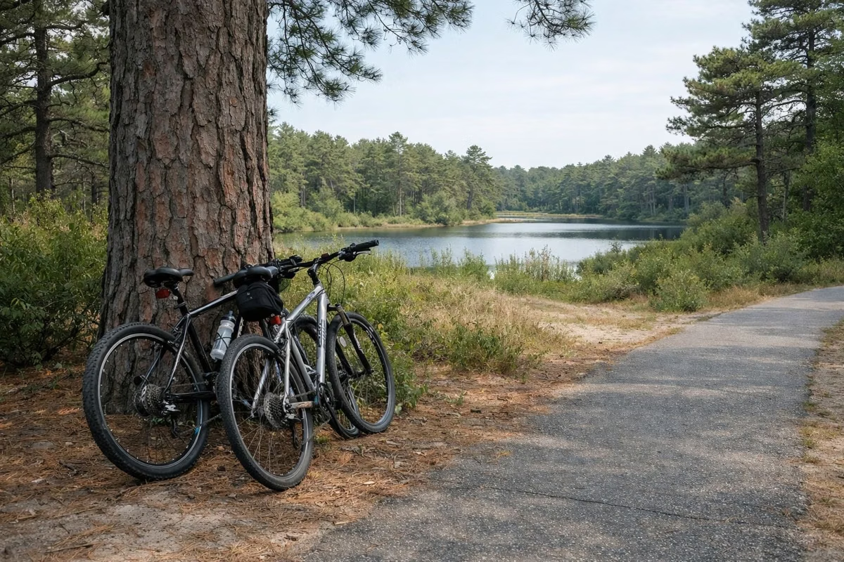
Park at Forest Headquarters; DCR's fall trip guide (2021) listed no parking fee at the headquarters lot for fall visits. Restrooms are at the back of the Interpretive Center from 8:00 am to 4:00 pm, and DCR's map notes a water station at headquarters. There is no bike rental listed by DCR, so bring your own.
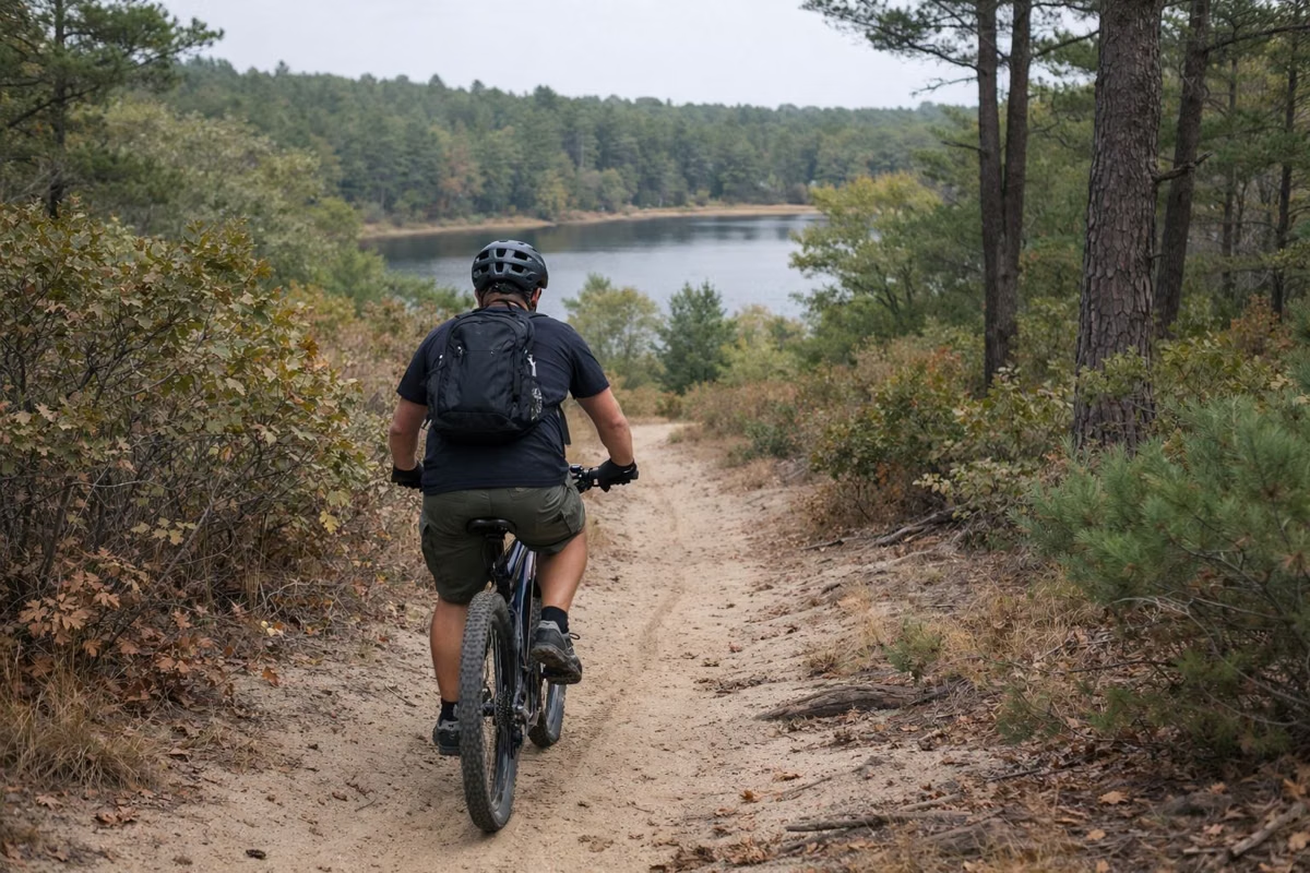
DCR's booking site also lists mountain biking among the forest's activities. Wherever you ride, stay on roads and trails and off the fragile frost pockets, whose plant communities DCR says take decades to recover from damage by vehicles, hikers and cyclists.
Good For
- Families with kids on bikes: the Camping Pond Loop.
- A long flat spin: the Frost Pocket Path.
- A workout and wildlife: the Rocky Pond Path.
Maybe Skip If
- You want a straight rail trail. These paths curve and cross forest roads.
- It's hunting season and you'd rather avoid it. Paths near the Wildlife Management Areas see hunters in fall; wear orange. See hunting.
Biking FAQ
How many miles of bike trails are in Myles Standish State Forest?
DCR says there are over 15 miles of paved bike paths, with three suggested routes from 6.25 to 11 miles.
What is the easiest bike ride at Myles Standish?
The Camping Pond Loop, a 6.25-mile ride DCR calls relatively easy. It starts at Forest Headquarters and passes Fearing and Charge ponds.
Where do you park to bike Myles Standish?
At Forest Headquarters, 194 Cranberry Road in South Carver (Parking Lot 1). All three of DCR's suggested routes start there, and DCR's fall trip guide (2021) listed no parking fee at the headquarters lot for fall visits.
Are the bike paths at Myles Standish paved?
Yes. DCR's suggested routes are on paved bike paths. Unpaved fire roads also cross the forest.
Do kids need helmets?
Yes. Massachusetts law requires a helmet for anyone 16 or under on a bicycle, scooter, skateboard or in-line skates.
Are there bike trails in Plymouth, MA?
Yes. Myles Standish State Forest, in Plymouth and Carver, has over 15 miles of paved bike paths run by DCR.