Hiking Trails
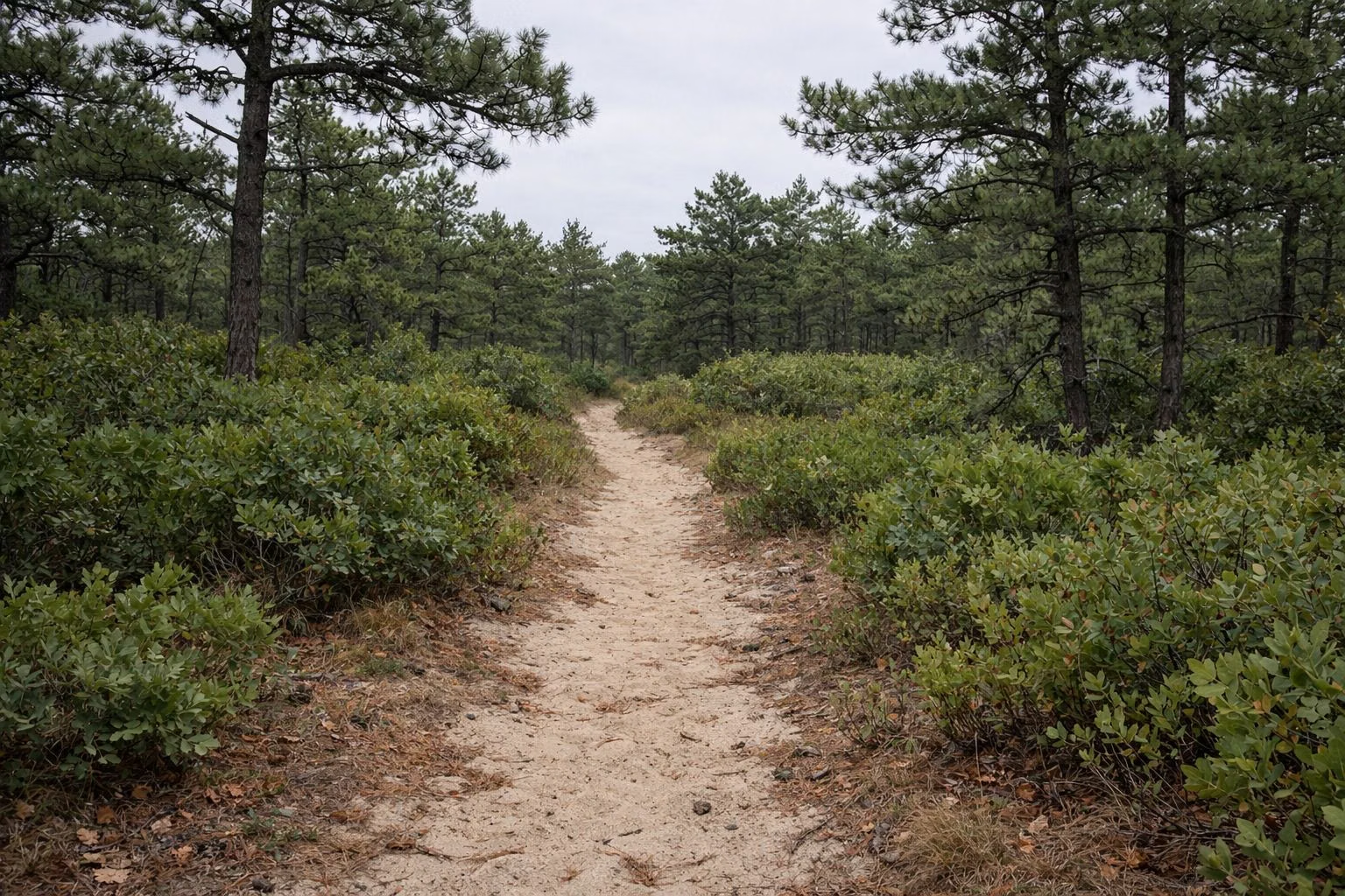
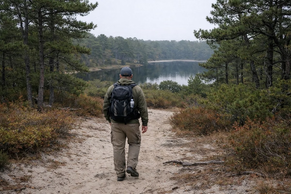
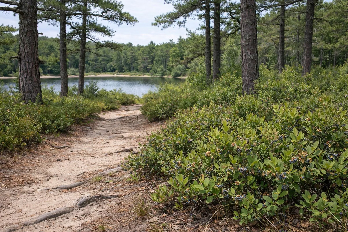
Myles Standish State Forest has 13 miles of hiking trails, according to DCR, and most are flat walks through pitch pine, scrub oak and white pine past kettle ponds and frost pockets. DCR's named loops run from the 1.6-mile Frost Pocket Loop and the 2.75-mile East Head Reservoir Trail to the 8-mile Pine Barrens Path. Most are marked with blue blazes, and DCR has trail guides you can download or pick up at headquarters.
Hiking at a Glance
The Named Hiking Trails
These are the hikes DCR suggests on its trail map and in its self-guided brochures, shortest first.
Frost Pocket Loop (1.6 miles)
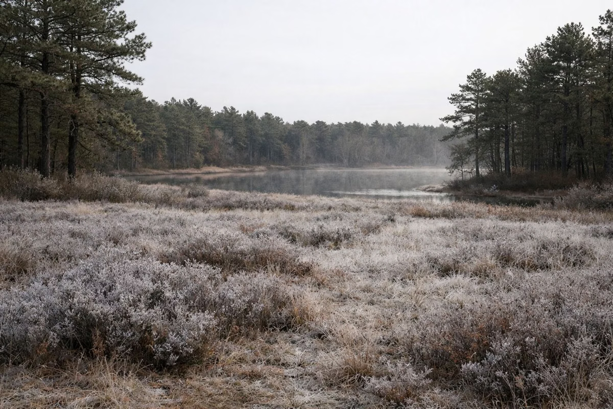
DCR's guide calls this about 1.6 miles, mostly flat with a few small hills, and quite sunny, taking about an hour. Start at Parking Lot 2: cross Upper College Pond Road, walk east down the dirt Three Cornered Pond Road, and turn left at the Frost Pocket Loop sign. The path drops into frost pockets, hollows where cold air collects and frost can form even in early summer (more on frost pockets). It ends at Priscilla Road; turn left, then left again on the paved bike path back to the lot.
East Head Reservoir Trail (about 2.75 miles)
The forest's introductory hike starts at Forest Headquarters. DCR's 2020 guide puts it at about 2.75 miles, mostly flat, 60 to 90 minutes, marked with blue triangles and 14 numbered posts; the trail map lists the same loop, called the East Head Loop or Healthy Heart Trail, at 2.6 miles and rates it easy. From the lot entrance, head left over the gated footbridge; the trail starts just after the second gate on your left. It hugs the shore of East Head Reservoir, built in 1868 to supply water to cranberry bogs, a shallow 86-acre pond. Boardwalks cross the wetter sections. The trail crosses Lower College Pond Road twice; DCR warns that road is busy all year.
Friends' Loop Trail (2.7 miles)
Blue blazes, rated moderate. Begin at the East Entrance parking lot and take the Frost Pocket Bike Path to the trail. DCR describes it as somewhat hilly, crossing a glacial moraine, with good views through tall pines. At its southwest corner it connects to the Pine Barrens Path.
Bentley Loop Trail (3.6 miles)
Blue blazes, rated moderate. It starts from the parking lot off Upper College Pond Road and passes ponds and meadows. It also runs through a Wildlife Management Area stocked with game birds in the fall, so DCR tells hikers to wear blaze orange then. See hunting season.
Charge Pond Loop Trail (4.8 miles)
Blue blazes, rated moderate. It circles the Charge Pond campgrounds and crosses several fire roads. Park in the lot on Charge Pond Road, walk a short way north on the bike path and turn onto Sasemine Way.
Pine Barrens Path (8 miles one way)
DCR's only hike rated difficult. It links the Friends' Loop to the Charge Pond Loop along the east side of the forest, through what DCR calls globally rare Pine Barrens and past frost pockets. You can also join it from the fourth parking pull-off on Cutter Field Road. Plan a car at each end or a long out-and-back.
Rocky Pond Bog Loop
A short walk around the working Rocky Pond Cranberry Bog from Parking Lot 7 on Bare Hill Road, where the power lines cross. The 7-acre bog is farmed by the University of Massachusetts Cranberry Experiment Station. Stay on the paths, do not walk on the bog and do not pick the berries. DCR's trail map says cranberry bogs have no public access except on this loop.
Trail Rules
- Trails are open dawn to dusk.
- Stay on designated roads and trails, especially in frost pockets and on pond shores.
- Motorized vehicles are banned from unpaved roads and trails, except snowmobiles.
- Meeting a horse: stop, announce yourself and wait for the rider's instructions.
- Dogs (except hunting dogs) on a leash, 10 feet maximum, and pick up after them.
- Carry in, carry out. No fires, dumping or alcohol.
- DCR asks hiking groups to keep to 12 people or fewer.
DCR's own trip guide warns that some trails are not well marked and some do not appear on the trail map. Carry the trail map and tell someone your plan.
Good For
- Families and first-timers: the East Head Reservoir Trail, rated easy, from headquarters with restrooms.
- Seeing the Pine Barrens in an hour: the Frost Pocket Loop.
- A long day on foot: the Pine Barrens Path.
- Birders: DCR counts over 130 bird species in the forest.
Maybe Skip If
- You want views from a summit. The forest is mostly flat sand and pine.
- You'd rather ride. The paved bike paths cover more ground.
Hiking FAQ
How many miles of hiking trails are in Myles Standish State Forest?
DCR lists 13 miles of hiking trails, plus about 15 miles of paved bike path and 35 miles of equestrian trails.
What is the easiest hike at Myles Standish?
The East Head Reservoir Trail, which DCR rates easy. It starts at Forest Headquarters and loops about 2.75 miles around East Head Reservoir, mostly flat, in 60 to 90 minutes.
What is the longest trail at Myles Standish?
The Pine Barrens Path, 8 miles one way, which DCR rates difficult. It links the Friends' Loop and the Charge Pond Loop along the east side of the forest.
Are the trails at Myles Standish dog friendly?
Yes, on a leash. DCR's trip guide sets a 10-foot maximum leash, and you must pick up after your dog.
Is it safe to hike Myles Standish during hunting season?
Hunting is allowed in two Wildlife Management Areas in the forest in fall. DCR tells hikers to be aware of hunting seasons and wear blaze orange. There is no hunting in Massachusetts on Sundays.
Where are the best walking trails in Plymouth, MA?
Myles Standish State Forest, which spans Plymouth and Carver, has 13 miles of DCR hiking trails with marked loops from about 1.6 to 8 miles.